Street lights crystalize the city (and today that city is Wellington)
We had an easy morning Wednesday after our “put me in a wheelbarrow and push me home” buffet last night because we had a short hour and fifteen minute long flight from Queenstown to Wellington that departed at 12:45.
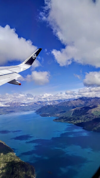
On our arrival we had time for a hurried lunch near the airport before our “coach” to our hotel at Oriental Bay.
Here’s a list of what I knew about Wellington before we arrived there (In Māori it’s Te Upoko-o-te-Ika-a-Māui – Head of the fish of Māui though I didn’t know this at the time.).
Wellington is the capital city of Aotearoa New Zealand.
It’s the last stop on the RS portion of my trip.
And here’s the list of what I didn’t know.
Everything else. That’s all about to change.
Wellington – past and present
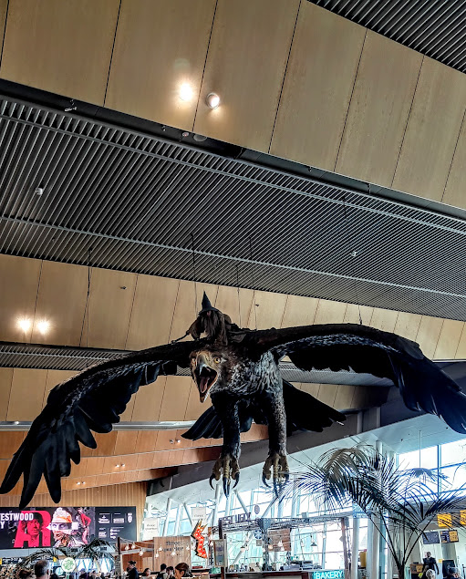
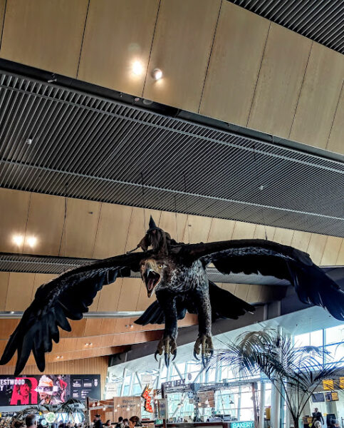
Before I dive into the real intent of this section, let me share one of the cool elements of Wellington’s airport. It has eagles! Not just any eagles but giant Lord of the Rings eagles.
(For brevity, I’ll generally use Wellington when writing about the city.)
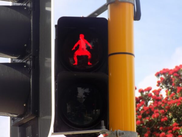
Later, on our orientation walk, I’ll spot another cool aspect of Wellington even if it’s not universal. As pedestrians, we might not always pay attention to the electronic crossing signals. But, at certain corners in Wellington, if you don’t, you’ll miss something unique (or at least unusual).
Now I can move on.
Rumbling? Could be.
Depending on how you view experiencing an earthquake, Wellington has the potential to be a dream city or a nightmare. Barely 150km east of Wellington, you’ll find the Hikurangi Trough which is where the Pacific Plate subducts beneath the Australian Plate at a rate of about 40 mm/year. This collision drives uplift of all of Aotearoa’s major mountain ranges and creates the North Island Fault System, including major active faults like the Wellington and Wairarapa faults.
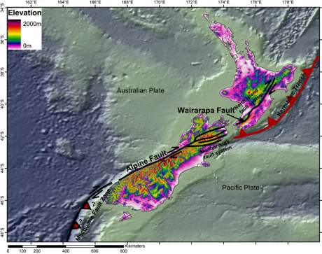
[From Wikimedia Commons BY Mikenorton, CC BY-SA 4.0]
In fact, the most powerful recorded quake in New Zealand’s history occurred on 23 January 1855 along the Wairarapa Fault. It uplifted Wellington’s coastline by 1.5 meters, generated 4-meter waves in Wellington Harbour that flooded Lambton Quay, collapsed brick buildings though it left most timber houses intact, and lifted the Remutaka Range’s southern end by six meters. On the plus side, the coastline uplift created land for the Basin Reserve cricket ground.
Since it’s been 170 years since the last major temblor, if you find the prospect of living through an earthquake enticing, Wellington should have a certain appeal. If, on the other hand, you find the idea of earthquakes unsettling, it’s probably a good idea to maintain some distance from a city that shares its name with a fault line.
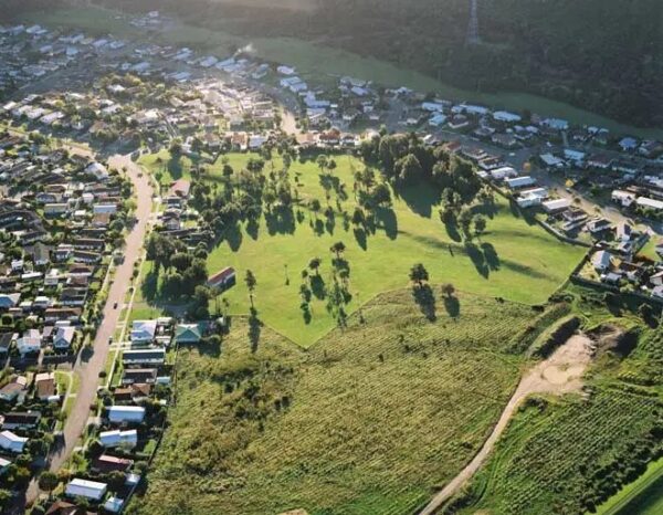
[Wellington fault in Upper Hutt from Te Ara Encyclopedia of New Zealand]
Oh, did I mention the hills? I know. I frequently write about hills such as the ones I’ve trudged up in Lisbon. And there are spots where the two cities are comparable. For example, Rua da Bica in Lisbon ascends 43 meters over a distance of about 3oo meters
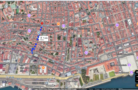
[Google Maps]
while Hungerford Road in Haughton Bay gains 59 meters in altitude over a 450 meter distance. Both are about a 15% grade.
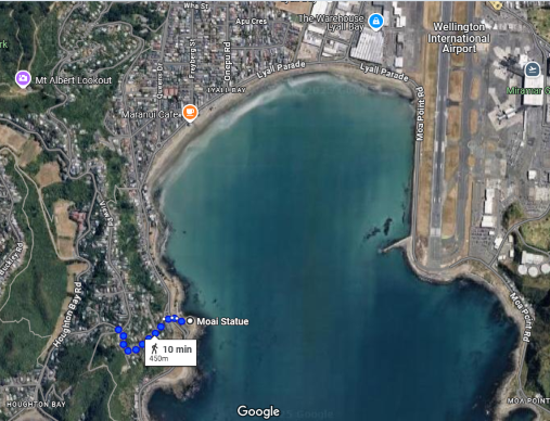
[Google Maps]
However, Wellington was the first place where I not only saw funiculars to private homes
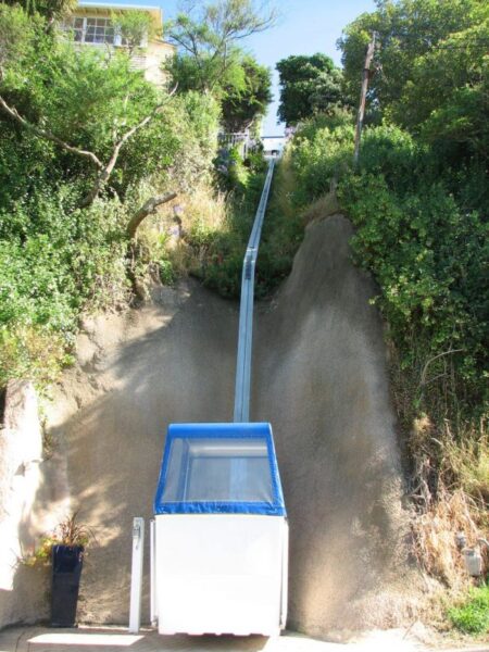
but they were rather commonplace.
Blowin’ in the Windy City
One of the sobriquets of the American city of Chicago is the Windy City. The origin of this nickname has both a meteorological and a political source. Sitting on the shore of Lake Michigan, the land heats faster than the water in the lake and the air rises as warmer air does. In the evening, the process reverses and these temperature variations generate fairly constant winds blowing from the lake toward the city. This is intensified by the town’s skyscrapers and narrow streets that create a wind tunnel effect for the Hawk.
But Chicago’s windiness also has a political source arising from a nineteenth century rivalry the city had with Cincinnati when the cities were competing to host the 1880 Republican National Convention. An editorial published in the Cincinnati Enquirer on 9 March 1876 used the term derogatorily to imply that Chicago’s political leaders were full of hot air and empty promises. Chicago’s politicians defanged the intended venom by embracing the term. The city has an average daily wind speed of a mere 9 knots. (A knot is a unit of speed equal to one nautical mile per hour. This translates to 1.15 mph in the Imperial system and about 1.85 kph for metric users.) At least 10 U S cities have higher average wind speeds.
Although it’s Aotearoa New Zealand’s capital and must have its share of political bloviating, Wellington’s meteorological claim is even more authentic. By most measures Wellington is considered the windiest city in the world.
Its average year round wind speed is 15.6 knots. In an average year the city experiences 173 days where the wind exceeds 32 knots and 22 of those days will have wind speeds of more than 4o knots. It sits on the northern side of the narrow Cook Strait that creates a funnel for the prevailing westerly winds. So, welcome to Windy Wellington.
What came next
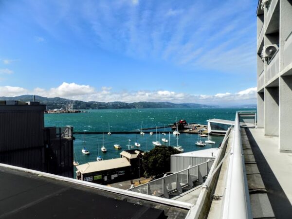
After checking into the hotel (where I had one of the more pleasant views from either tour)
most of us chose to walk through the nearby CBD with our site coordinator that was brief and helpful before returning to the hotel where we’d convene for a lecture called “New Zealand Politics & Political Life.” The educational component is to be expected . This is a Road Scholar trip, after all. Here’s some of what we learned. There’s no need to take notes. It will be an open book exam.
In previous posts I’ve written about the 1840 Treaty of Waitangi that the British used to officially establish their colonial presence in the land they called New Zealand. Fourteen years later, on 24 May 1854, parliamentarians assembled in Auckland and opened New Zealand’s first Parliament.
Tensions between the North and South Island in the early 1860s prompted the formation of an independent commission appointed by the governors of the Australian colonies to select a new location for the capital. They chose Wellington for its central location and its harbor that could accommodate the Royal Navy fleet. Wellington’s Provincial Council Chambers, built in 1858, became the first Parliament buildings in 1865.
The Māori Representation Act of 1867 established four Māori electorates to address Māori exclusion from the political process. As of this writing that has expanded to seven of Aotearoa’s 72 electorates. An electorate is broadly analogous to a Congressional district in the U S and, as we learned in Auckland, women have participated in Aotearoa’s elections since Lord Glasgow signed a new Electoral Act on 19 September 1893 making it the first self-governing country in the world granting women the right to vote in parliamentary elections.
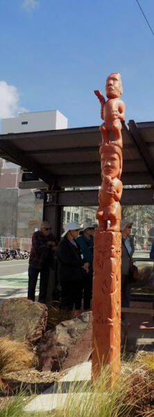
(Since I can sense your eyes beginning to glaze over, feast your eyes on this powhenua – or carved post – that we passed on our walk.)
Aotearoa has a unicameral parliament with 120 seats and it’s organized on a mixed member proportional (MMP) model. In every three-year election cycle, voters in each of the 72 electorates choose one representative in a winner-take-all election. Simultaneously, they vote for a political party and the remaining 48 seats are allocated to the parties in proportion to their nationwide support. To gain representation a party needs to win at least one electorate seat or at least 5% of the nationwide party vote.
Interestingly, although it’s a constitutional monarchy (Charles III is currently the head of state and is represented by the Governor General), the country has no single written constitution that establishes a supreme law of the land. Instead, it uses statutes, common law and unwritten conventions.
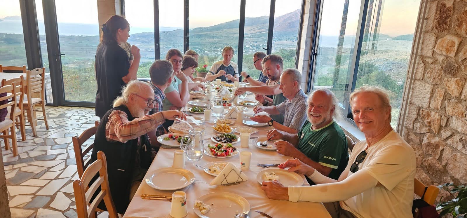
I’ll return to Aotearoa New Zealand’s government when I recount tomorrow’s activities that include a visit to both the Parliament and the Supreme Court. Meanwhile, I’ll join the group for dinner at the One80 Restaurant on the seventh floor of our hotel
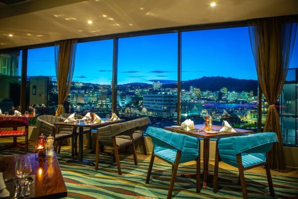
[From Millennium Hotels]
and you can return to doing something productive. Or you can look at a few more photos.
-
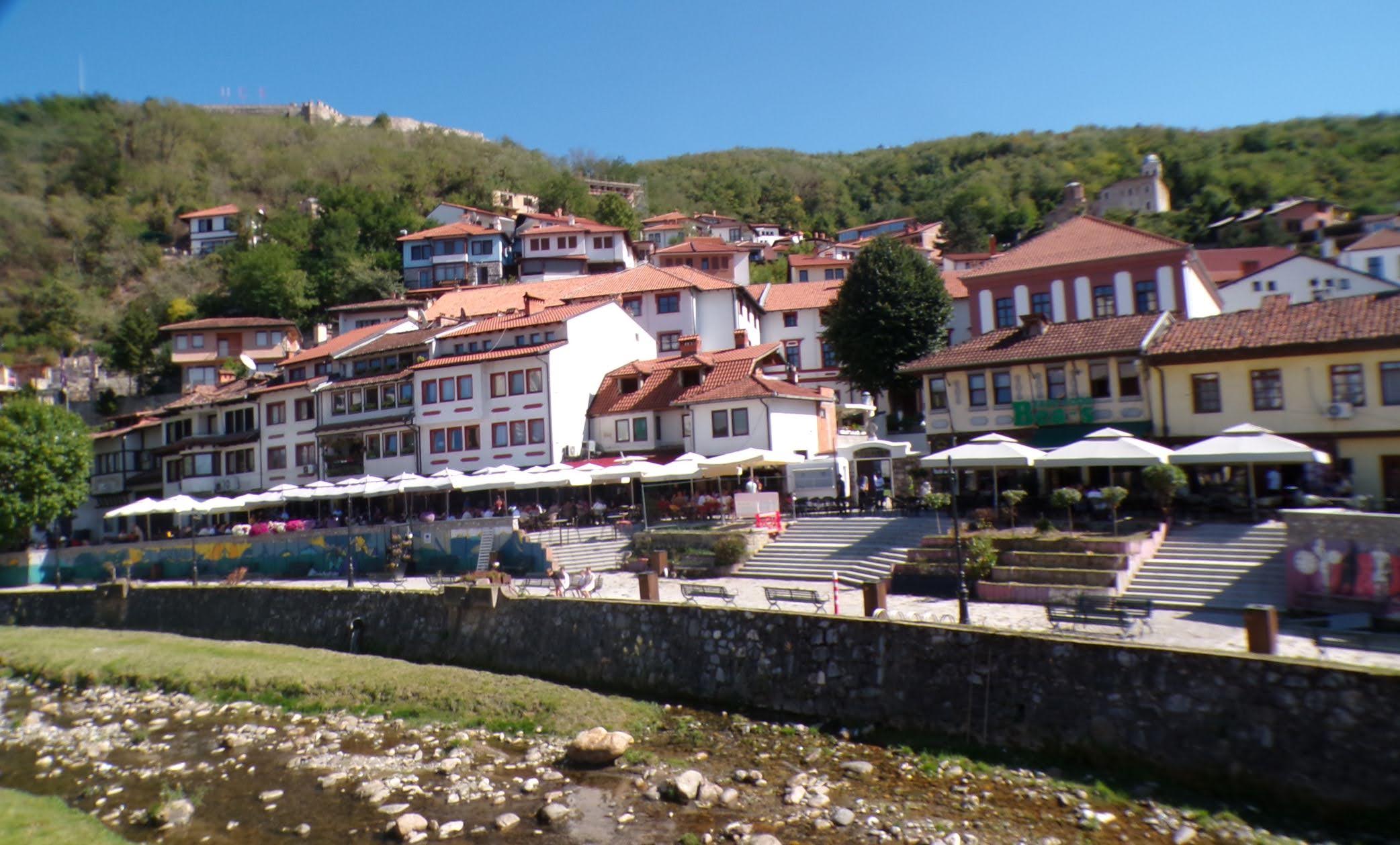
It’s just a shot away – Prizren
March 6, 2026 -
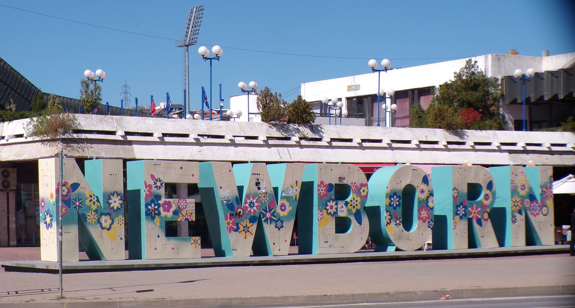
Some things looking better, baby – Getting into Kosovo
March 4, 2026 -
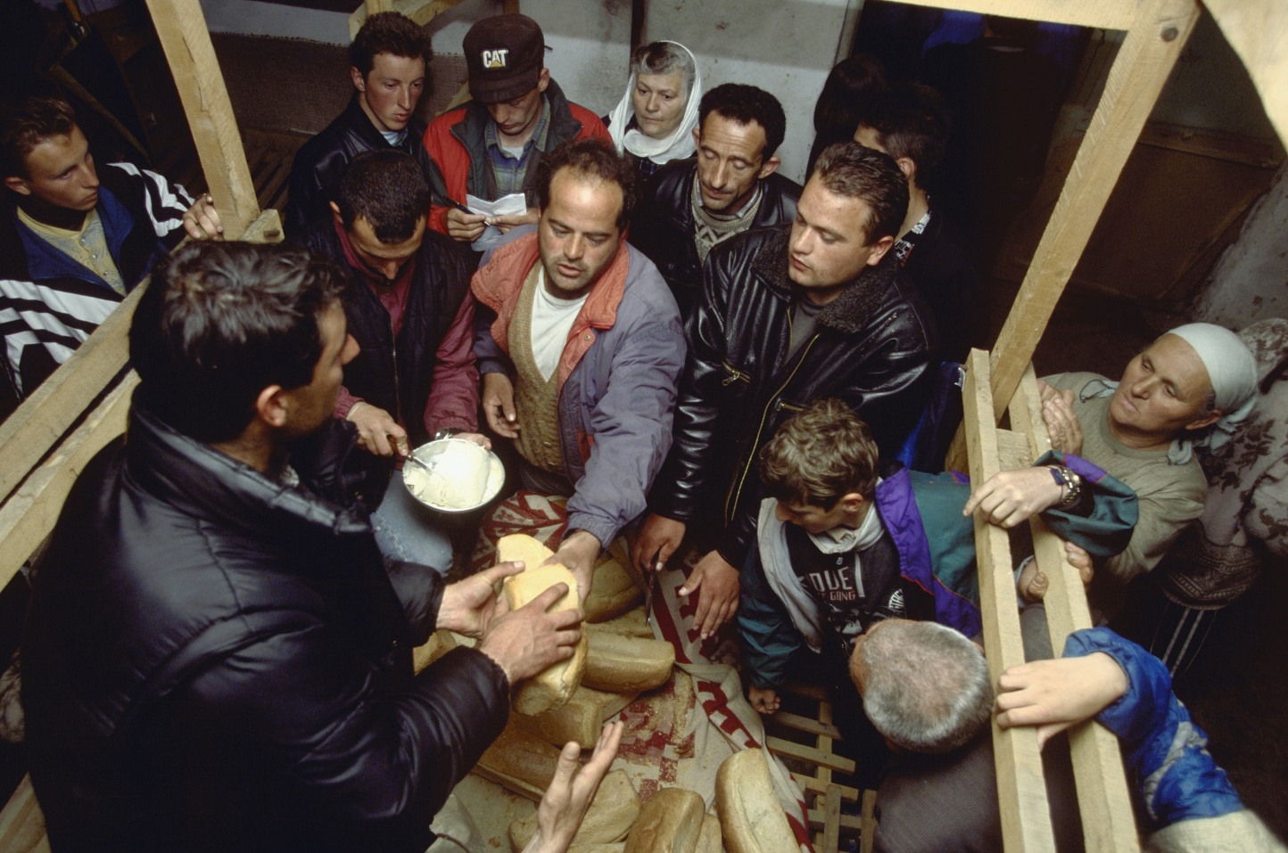
Here, where the sky is falling – Kukës
March 2, 2026 -
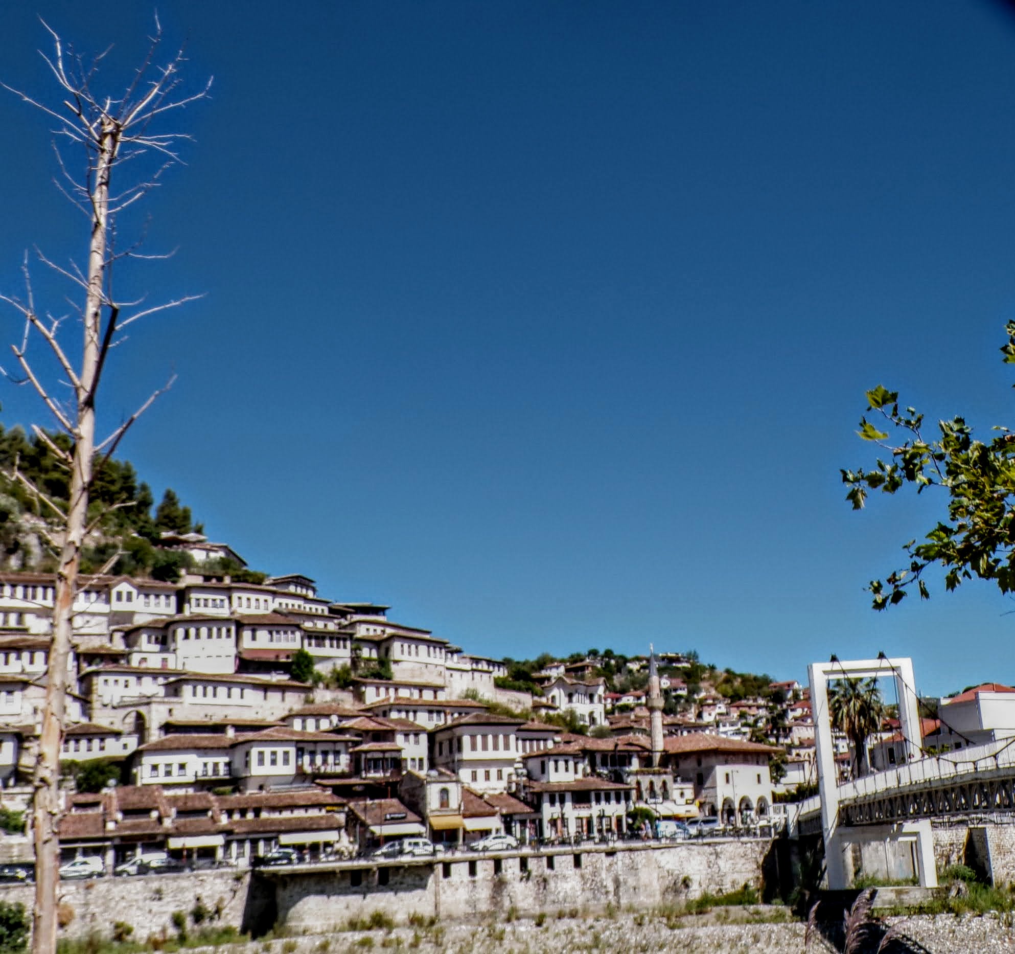
That’s when we fall in line ’cause we got Berat
February 27, 2026 -
Walking on the big stuff – a climb to Tragjas
February 25, 2026
2 responses to “Street lights crystalize the city (and today that city is Wellington)”
Eagles – giant Condor more like it Todd.
Crossing signals – nope not commenting on this one!
One80 Restaurant – that’s one heck of a view.
👏👏👏