A Big Rock, a bit of Spock and a very short river – The very short river
Lewis and Clark, the world’s shortest river (?) and becoming a Montana scofflaw.
After I finished my morning in Vulcan, it was time to get back on the road and head south to the border crossing at Coutts on the Canadian side and Sweetgrass on the Montana side. The border crossing is about 200 kilometers from Vulcan and once I enter Montana, my friends reading this who use the metric system will have to convert units of length and temperature as I will be switching to the Imperial and Fahrenheit systems.
The observant among you might have noticed that the sky in the pictures at both Big Rock and Vulcan isn’t particularly blue. It was on this drive that I saw the early signs of the smoke and haze that would come to be at least one of, if not the, defining aspects of this trip. Driving through it, I had some sense of the rather persistent haze, the sky’s lack of color and less than expected visibility but, at this point, my awareness of the smoke intensified when I’d look in the rear-view mirror where I’d see what appeared to be a swarm of ash bugs trailing my car. That will change as the trip progresses.
Only one entry station was open so I sat through a bit of a delay crossing the border. Once in the U S, my first act was to fill the gas tank. The low fuel warning light came on some distance before I reached the border but because it was only my third day driving this particular car I wasn’t certain how much farther I could drive. Taking to heart the lesson I learned in Utah, I pulled into the first available station.
My Global Entry card facilitated the border crossing by letting me leave my passport in my pocket. Although I didn’t see a “Welcome to Montana” sign, I knew that once I’d crossed the border, Montana became the 48th state I’ve visited.

(Note: This is not a photo I took and, I believe it’s looking north. I didn’t note the source but I thought your eyes might need a distraction.)
While filling the tank I grabbed an immediately forgettable convenience store lunch to eat on the fly because I had about two hours driving to reach Great Falls where I’d planned a brief stop that would be followed by three more hours of driving to reach Billings where I’d spend the night. In all, I had about 350 miles left to drive.
In most of the U S, finding your way to a decent sized city like Great Falls, Montana is relatively easy so getting to Great Falls from Sweetgrass is a simple 120-mile drive south on I-15. Finding a specific address in that city can be a bit more challenging. Fortunately, in the 21st century many of us carry smart phones with apps like Google maps or Waze. Unfortunately, even in the 21st century, if you’re in northern Montana and your service provider isn’t Verizon (mine is T-Mobile), those apps are often useless.
But I’d learned a similar lesson traveling through Arizona and Utah earlier in the summer so I was prepared with paper maps. However, a paper map doesn’t give verbal prompts and this can be a problem when the same person is both driver and navigator. Thus, I implemented a two-step plan.
Step one: Pull off the road 10-15 miles before reaching Great Falls to study the map and commit as much of it to memory as possible.
Step two: Write the directions on a small piece of paper that I could glance at reasonably safely because I don’t trust my memory.
The plan was more or less successful. I didn’t get lost but I did rely on an intuitive guess or two such as turning onto the first street I saw after crossing the Missouri River because that seemed like the most logical place to get me to my intended address. Now, while I’d detoured to Great Falls to see the Roe River, I decided on the way there that I’d also stop at the Lewis and Clark National Historic Trail Interpretive Center for two reasons.
First, since I’d visited the Confluence Tower in Illinois on my Great River Road trip, I could connect the two journeys. More than this, though, I hoped it might provide some information I hadn’t yet read about Sacagawea because I’d planned an encounter with her (spiritually and metaphorically speaking) later in this trip. Oh, please note the proper spelling and pronunciation of her name.

I didn’t learn much more.
Roe, Roe, Roe.
Until 1989, the D River in Lincoln City Oregon was, according to the Guinness Book of World Records, the world’s shortest river at a mere 440 feet long. In 1988, however, the students at Lincoln Elementary School in Great Falls, launched a campaign to replace the D River with the Roe River since the latter is only 201 feet in length. Guinness recognized the claim and from 1989 through 2005, reported the Roe as the world’s shortest river. Not wanting to be outdone, the citizens of Lincoln City submitted a new measurement of the D claiming that at extreme high tide, the river is only 120 feet long. This time, the people at Guinness didn’t recognize the claim. Instead, they removed the category from all editions of its book beginning in 2006.
Even though it’s no longer listed, the Roe was the last river to claim the title making it, at least in my mind, worth the visit. It was a very short drive – certainly less than a mile – from the Lewis and Clark Center to Giant Springs State Park where I’d be able to walk the entire length of the Roe River. While the park is free to Montana residents, there was considerable signage in and around the parking lot directing me as a non-resident to pay the $6 daily entrance fee. Missing, however, was any evidence of the presence of a park ranger to collect or enforce the collection of said fee. Since my intent was to take a few pictures of the river and leave and, recalling the thrill of my stolen tram ride in Budapest last year, I decided to take the risk. Once again, I succeeded.
I hereby present the Roe River from source to mouth:.

You can find a few more pictures (including one with an explanatory sign) and a 10 second video here.
I didn’t make a single note about my dinner in Billings so it must have been utterly forgettable – if I had dinner at all. I had two reasons to stop in Billings if you’re curious. First, it’s about eight and a half hours and 530 miles to drive directly from Calgary to Billings. Add time to cross the border and my other detours and stops and my best estimate meant I’d be on the road for about 12 hours and that seemed like a sufficiently long day.
Second, my first stop tomorrow, the Little Bighorn Battlefield National Monument is barely an hour east of Billings making it close enough for me to stop and spend several hours there and still arrive at my next destination, Devils Tower, with plenty of time to do a little hiking. Thus, it hit the sweet spot between maximizing my drive on Tuesday and minimizing the time I’d need to reach Little Bighorn BNM.
By now, most of you should have a sense of the rhythm and detail of the way I record my travels. Since my first stop tomorrow is at the site of one of the most famous battles fought within the United States, I suggest you prepare yourselves for a few entries that will contain very little about my travels but will contain a very long history lesson. So, saddle up because tomorrow we ride.
-
It’s just a shot away – Prizren
March 6, 2026 -

Some things looking better, baby – Getting into Kosovo
March 4, 2026 -
Here, where the sky is falling – Kukës
March 2, 2026 -
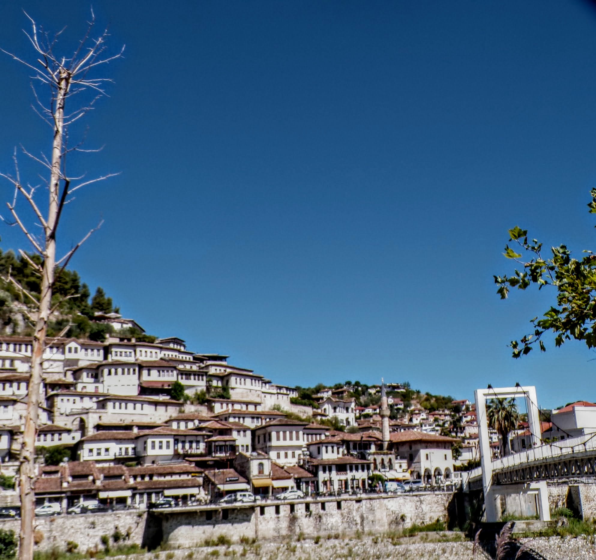
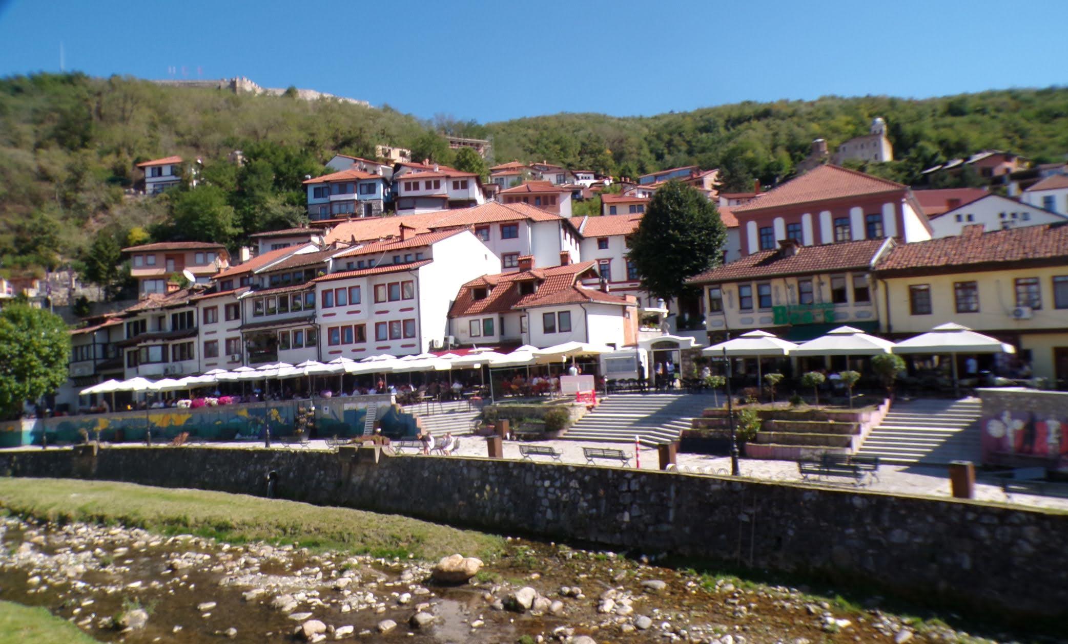
That’s when we fall in line ’cause we got Berat
February 27, 2026 -
Walking on the big stuff – a climb to Tragjas
February 25, 2026