Sunday. Climbing cliffs and discovering Pluto – part 1
Even before the day of my arrival in Tucson, new information and events began to conspire to provoke changes in the various daily itineraries I’d been planning (though not rigidly or meticulously) since early February. But change and flexibility are among the delights (and sometimes the challenges) of solo travel. Yesterday, when I drove to Bullhead City, I drove along a stretch of Route 66 (admittedly a rather barren one) that I would have missed had I started the day in Kingman as I’d originally planned. This took me farther west than I’d expected and I then compounded the situation by going farther east to see Meteor Crater. Of course, this unanticipated forthing and backing also meant I had to skip some sights in my initial plan.
Despite the rather hyperbolic headline I put on this entry, I neither climbed a cliff nor discovered a dwarf planet. In a more prosaic way, though, today’s plan fit within a considerably narrower geography but, in some ways, mirrored yesterday’s drive. This time, I’d drive east to my first destination, return west to the second, then east again passing destination one to reach destination three before ending the day back in the vicinity of destination two. Got that?
When I made the drive yesterday, I passed a sign that piqued my curiosity but I waited until Sunday to photograph it.
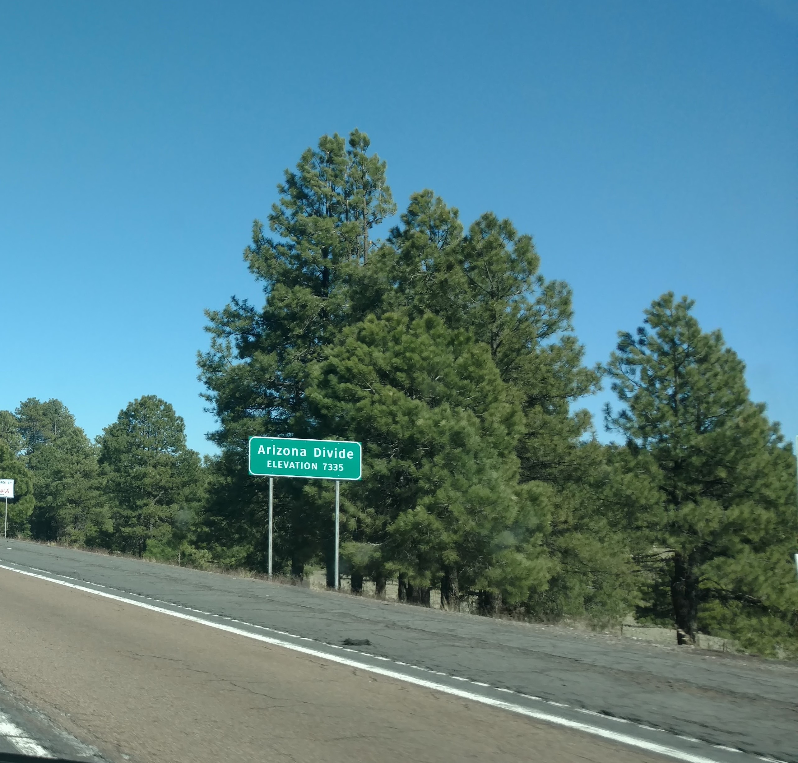
Now, I’ve heard of the Continental Divide (including the movie with John Belushi and Blair Brown) but I’d never heard of the Arizona Divide so the sign made me wonder if there was such a thing or if Arizona was simply being egocentric. It turns out that there is an official definition: “The Arizona Divide defines the watershed and marks the point where the direction of the flow of water changes from north and east to south and west. Drainages west of the Divide flow to the Gila and Salt Rivers while drainages to the east flow into the Little Colorado River.”
Still, this seems to me to be a bit of a distinction without a difference. The Salt River is a tributary of the Gila and both the Gila and Little Colorado Rivers flow into the Colorado which, of course, eventually flows south and west into the Gulf of California. But we all know what the Arizona Divide really is.
First Stop: Walnut Canyon.
With a relatively limited itinerary, this morning marked the latest starting hour for any day of the trip thus far. It was past 08:30 by the time I entered the blended highway (I-40 and Historic Route 66) eastward toward another set of cliff dwellings at Walnut Canyon. This national monument is some eight to ten miles east of Flagstaff where I’d make my second stop of the day. It drew my interest because, unlike the view and experience at the Montezuma Castle site, in Walnut Canyon visitors can actually walk through some of the abandoned cliff dwellings.
With an estimated age of 60 million years, Walnut Canyon is tens of millions of years older than the Grand Canyon but it’s minuscule by any comparative measure. Unlike the Grand Canyon that had a major river and its tributaries to carve it, Walnut Canyon had only Walnut Creek – a 34-mile-long tributary of the Little Colorado River – to carve its path through the rock.
To give you an idea how vast the difference is, the floor of Walnut Creek Canyon is about 350 feet below the rim which sits at 6,990 feet above sea level. The distance between the average rim elevation (6,800 feet) and average floor (2,200 feet) of the Grand Canyon is 4,600 feet or nearly nine-tenths of a mile. From its highest elevation at Grandview Point, the Grand Canyon’s depth is more than a mile. Walnut Canyon covers a bit more than 3,500 acres. The acreage of the Grand Canyon (remembering that these measurements are tricky) probably exceeds 750,000 acres. (The entire park is more than 1,200,000 acres.)
Walnut Canyon also looks quite different from its Grand counterpart.
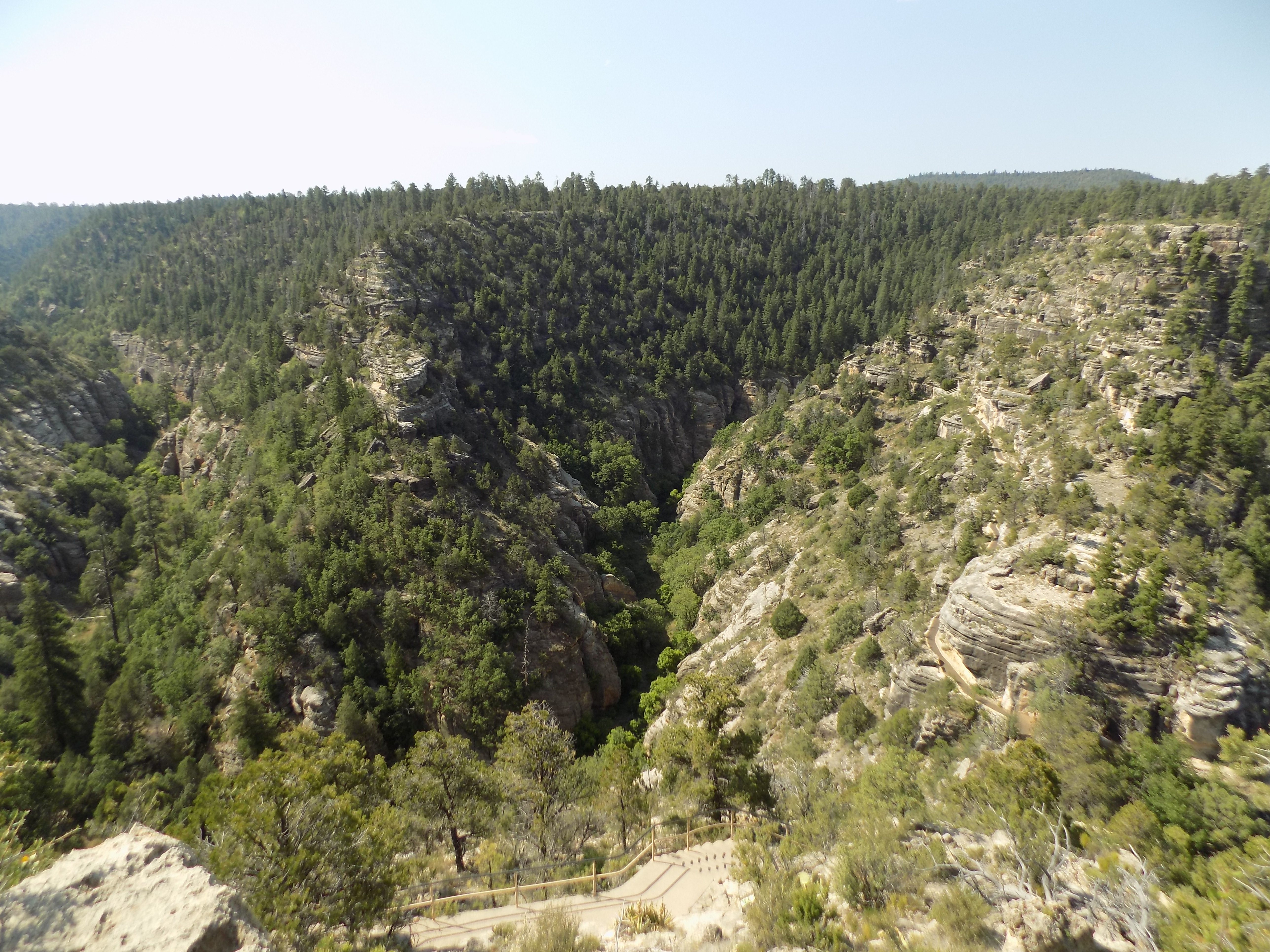
However, one thing you can’t discern from this photo is that the underlying makeup of the two canyons (e.g., their rock layers) is quite similar. If you recall the graphic depicting the various rock layers of the Grand Canyon, you’ll remember that the top three layers consist of the Kaibab Formation, the Toroweap Formation, and Coconino Sandstone. These are precisely the same rock layers found in Walnut Canyon. However, this isn’t terribly surprising given that the two canyons are only separated by a direct flight line of about 63 miles.
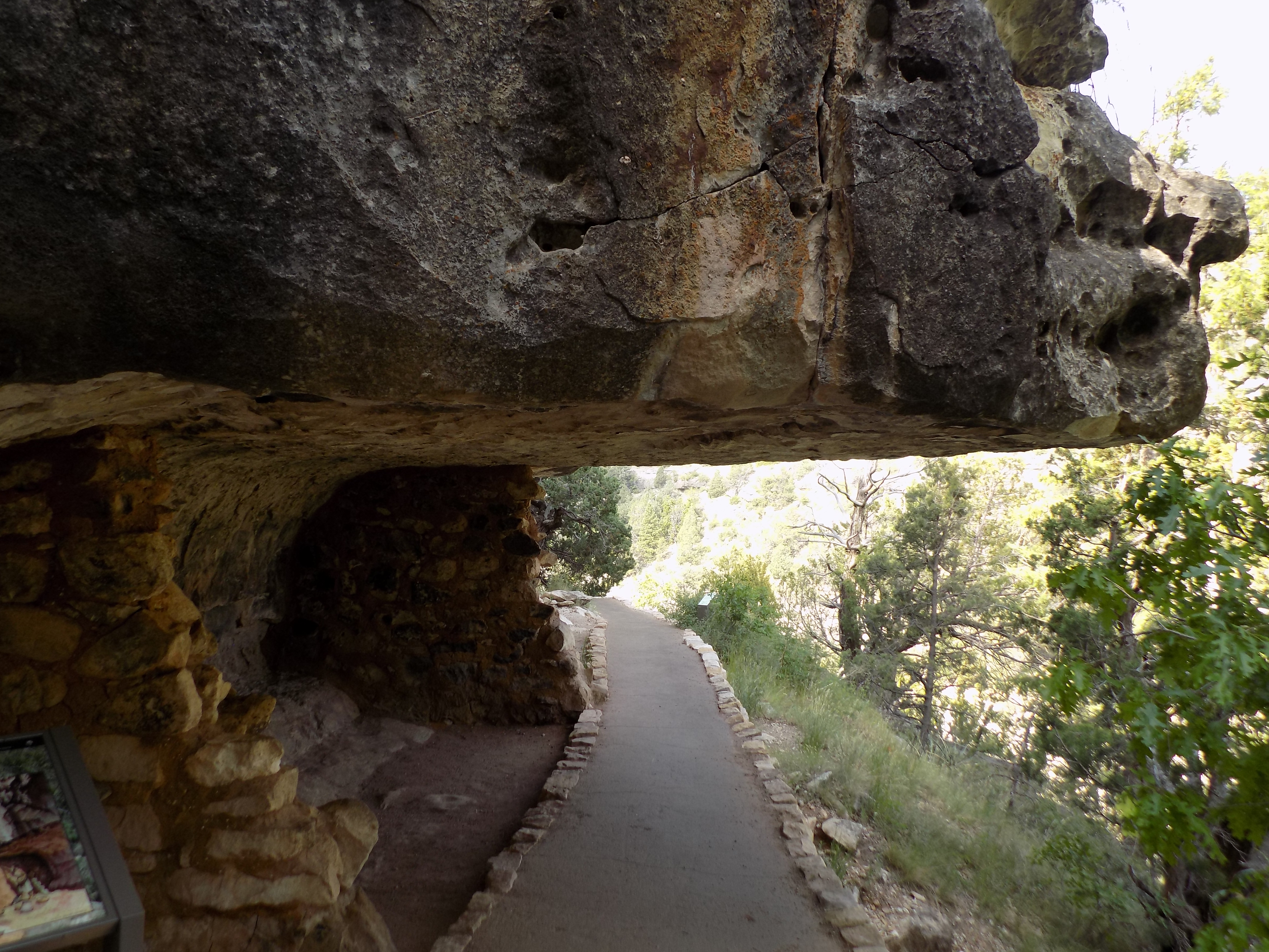
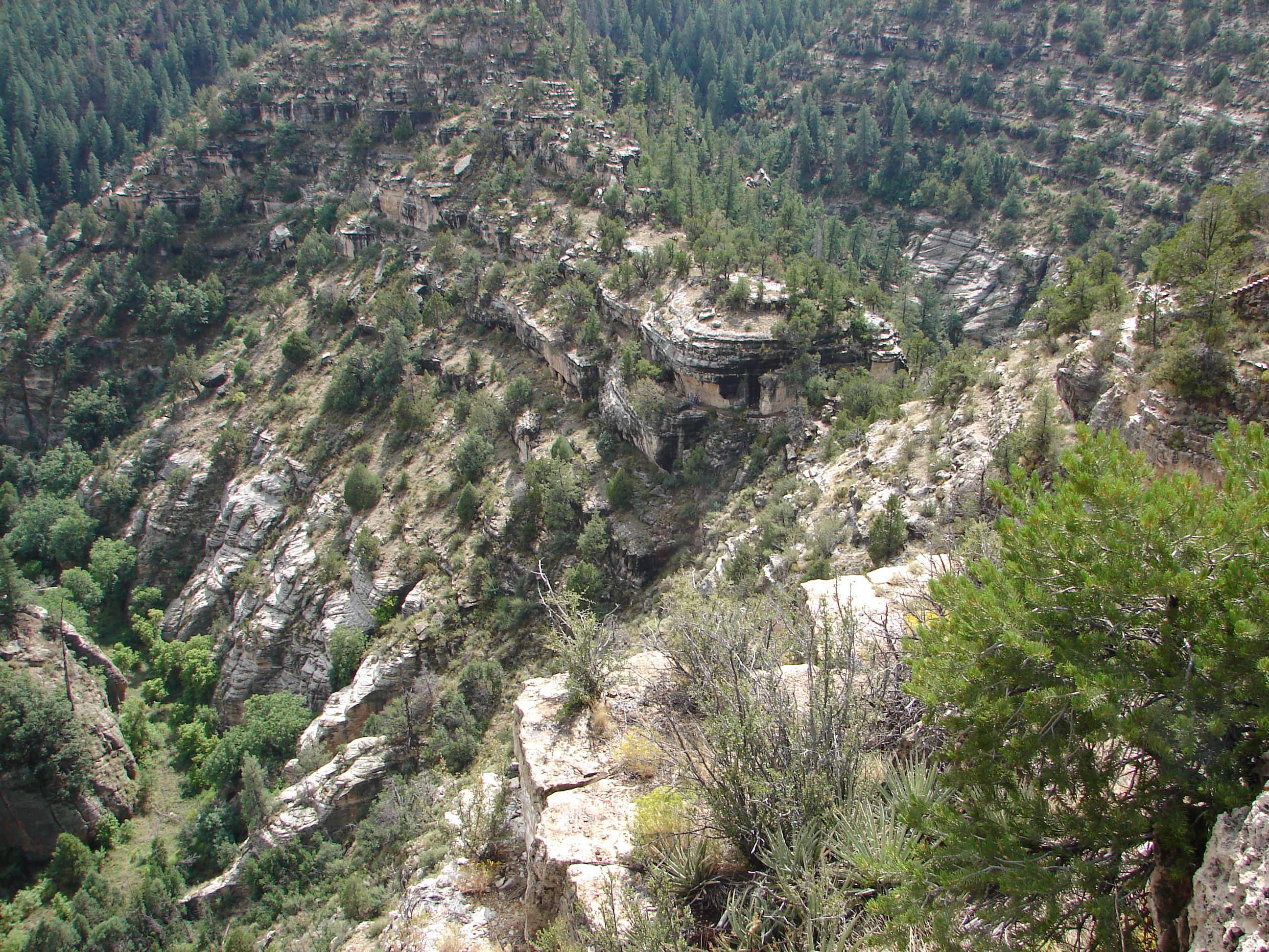
The two main visitor trails in Walnut Creek are the Rim Trail and the Island Trail and, though both are relatively short, they are both worth any time you choose to spend. With its 185-foot descent (and corresponding ascent) the one-mile round trip of the Island Trail, though it is well paved, is also, by far, the more physically challenging of the two. (Remember that 185 feet would be the rough equivalent of walking the stairs in an 18-story building but here one has the added challenge of starting at nearly 7,000 feet above sea level.) However, it’s also the trail that provides access to the remains of the cliff dwellings so I started there and invite you to join me narratively and pictorially. (You can see a part of the trail in the photo above if you look for the yellow rail near the bottom.)
If you could travel in a straight line from Walnut Canyon to Montezuma’s Castle, you’d cover about 60 miles so, just as there’s a connection between the Grand Canyon and Walnut Canyon, there’s a connection exists between the two cliff dwelling sites. In this case, rather than a connection of geology, the tie is archaeological. The Sinagua people occupied both sets of cliff dwellings. While both of these cliff villages appear to have been carved at more or less the same time in the first quarter of the 12th century, the Sinagua appear to have abandoned the Walnut Canyon site nearly a century before they left Montezuma’s Castle. Here again, we don’t know why.
While they often hewed spaces relatively deep into the rock of the canyon wall, the builders also cleverly used natural overhangs to provide shelter.
They also constructed dwellings on both sides of the “island” as well as some on opposite sides of the canyon. One side of the “island” faces east and the other west so there’s some speculation that they occupied the different sides seasonally for both warmth and accessibility to the rim above.
Like most of my fellow visitors, after completing the circuit, I huffed and puffed my way up the stairs (I had to pause to rest once or twice) and returned to the Visitor Center. I refilled my water bottle and set off for the shorter, flatter walk along the Rim Trail. Looking out from the first of the two viewpoints, you get a better understanding why the first trail is called the Island Trail. The remains of a pit house on the Rim Trail indicate that people lived not only in the canyon but on its rim as well.
-
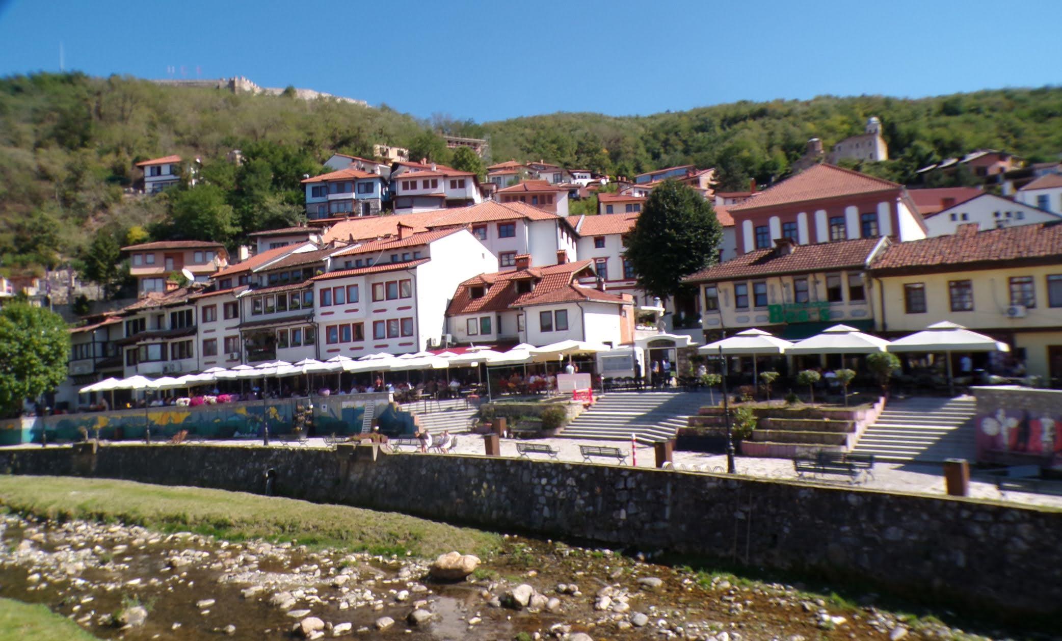
It’s just a shot away – Prizren
March 6, 2026 -

Some things looking better, baby – Getting into Kosovo
March 4, 2026 -
Here, where the sky is falling – Kukës
March 2, 2026 -
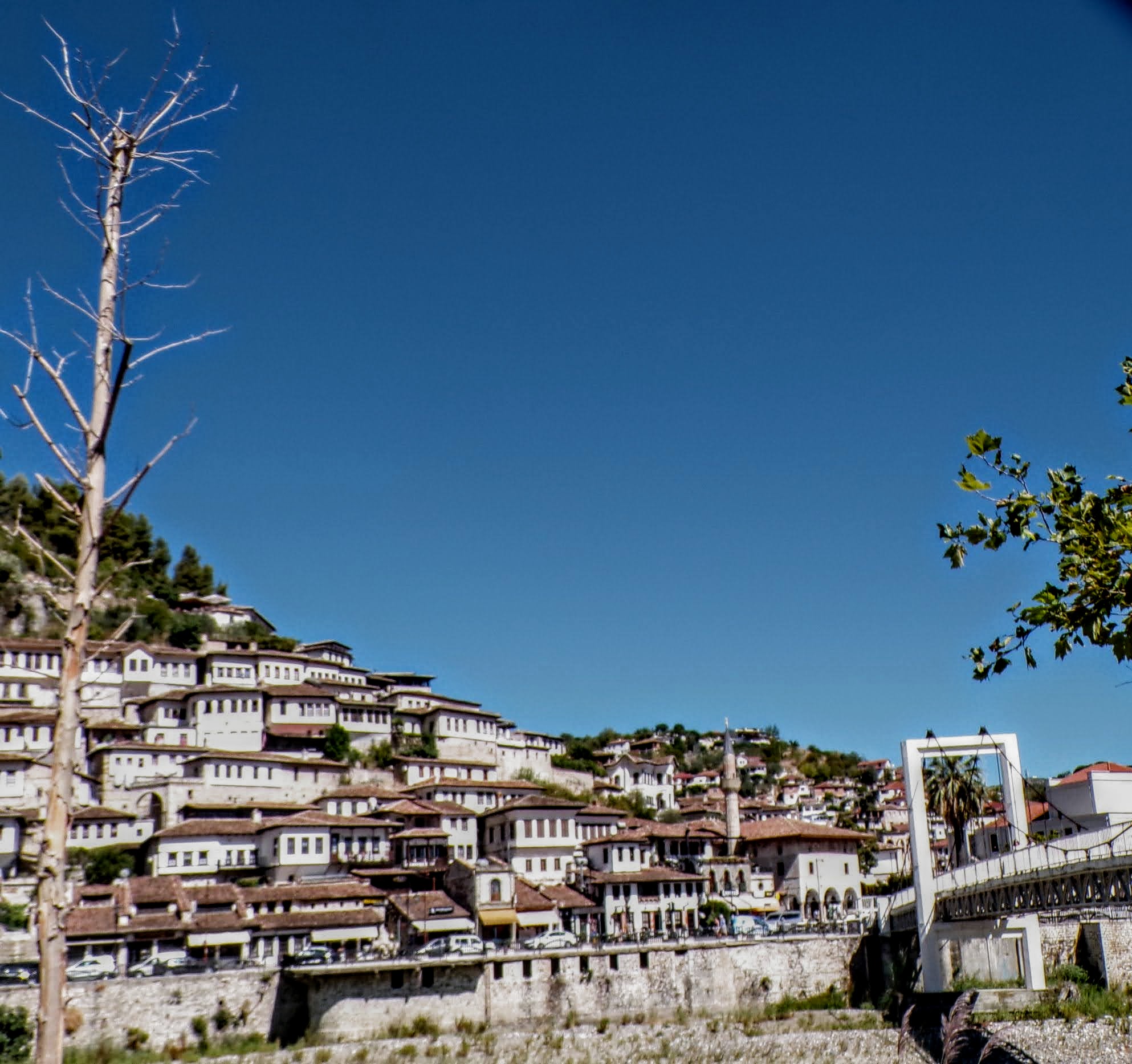
That’s when we fall in line ’cause we got Berat
February 27, 2026 -
Walking on the big stuff – a climb to Tragjas
February 25, 2026