Open spaces, little known heroes, and more rock faces – part 1
Today’s journey will mark one bookend of the Arizona portion of this trip – that is, it’s the last day of sightseeing before I return to Tucson for the flight home. Today we’ll traverse about 350 miles, first east then north. We’ll approach the New Mexico border and visit three sites before settling in for one last front-end night in Arizona at Kayenta – close to the Arizona – Utah state line and about 35 miles south of Monument Valley. After today most of the remainder of this trip will be in Utah.
It had nothing to do with Medusa.
Language evolves in interesting ways. Think about the word petrified. Is your first thought its metaphoric use (“That movie was so frightening I was petrified for two hours.”) or it’s literal use (“When organic matter turns to rock, we call it petrified.”)? With no evidence to support it, I’ll go out on a limb and guess that it’s the former you think of first. (I’m guessing, here. Not assuming. There’s a difference.)
The literal meaning springs from a pair of Latin roots “petra” meaning stone and “-ficare” meaning to make. It came to English in the late 16th century from the French word pétrifier which means to become stone. The first written example of its metaphorical use didn’t appear until 1771.
Now that you’ve had a brief linguistic and etymological introduction, I will lead you on a closer look at my first stop in today’s semi-circuit of eastern and northern Arizona – Petrified Forest National Park and its sibling, the Painted Desert.
First things first. After I’d crossed most of the 114 miles between Flagstaff and the national park, I had a similar reaction to the surrounding landscape to the one I’d had entering Grand Canyon National Park from the south rim which was that the surrounding shortgrass prairie (And yes, neither the Painted Desert nor Petrified Forest are actually in a desert.)
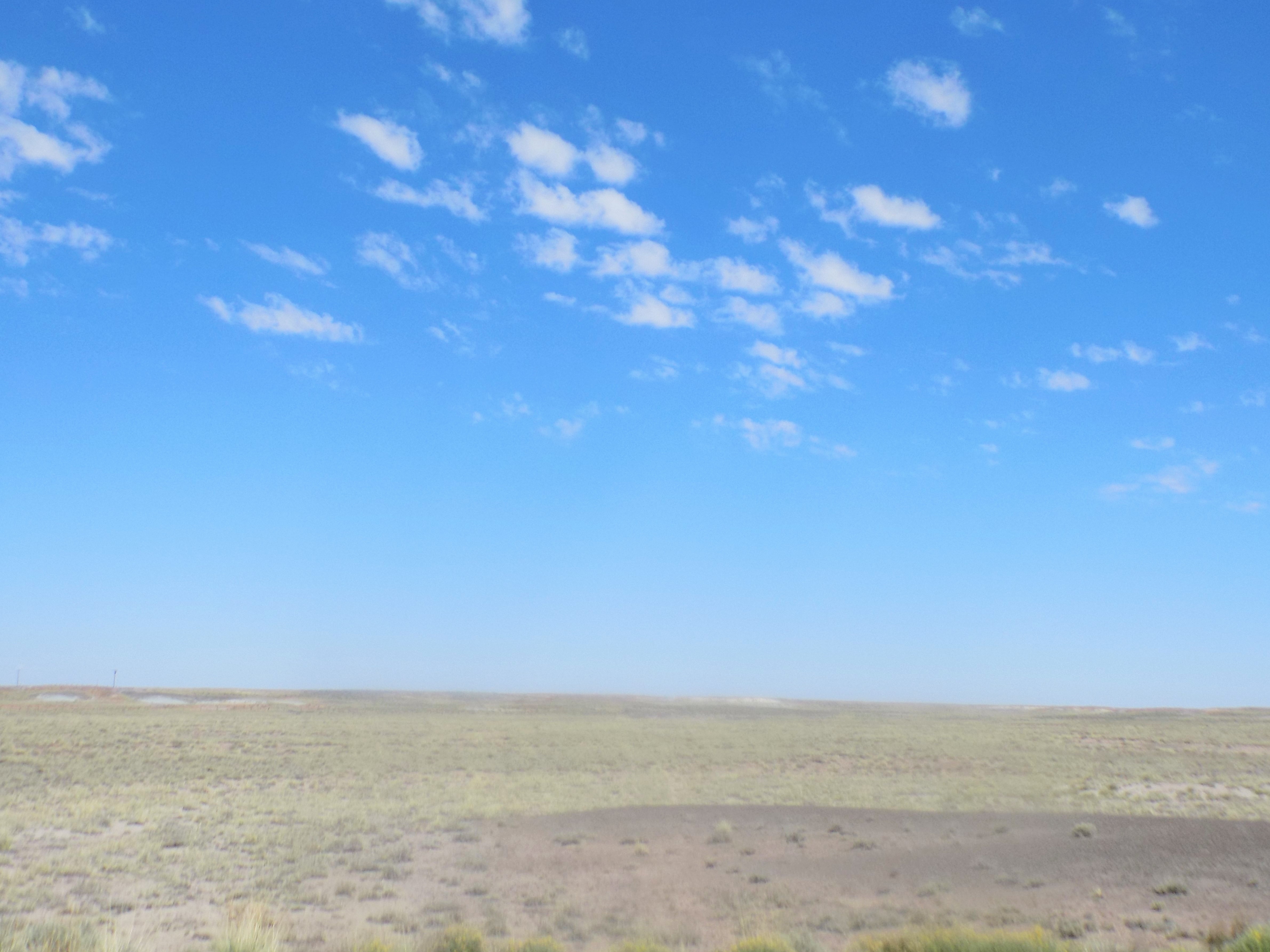
provided little or no hint of the rather alien landscape I was about to enter. Curiously, I entered this park from the south too.
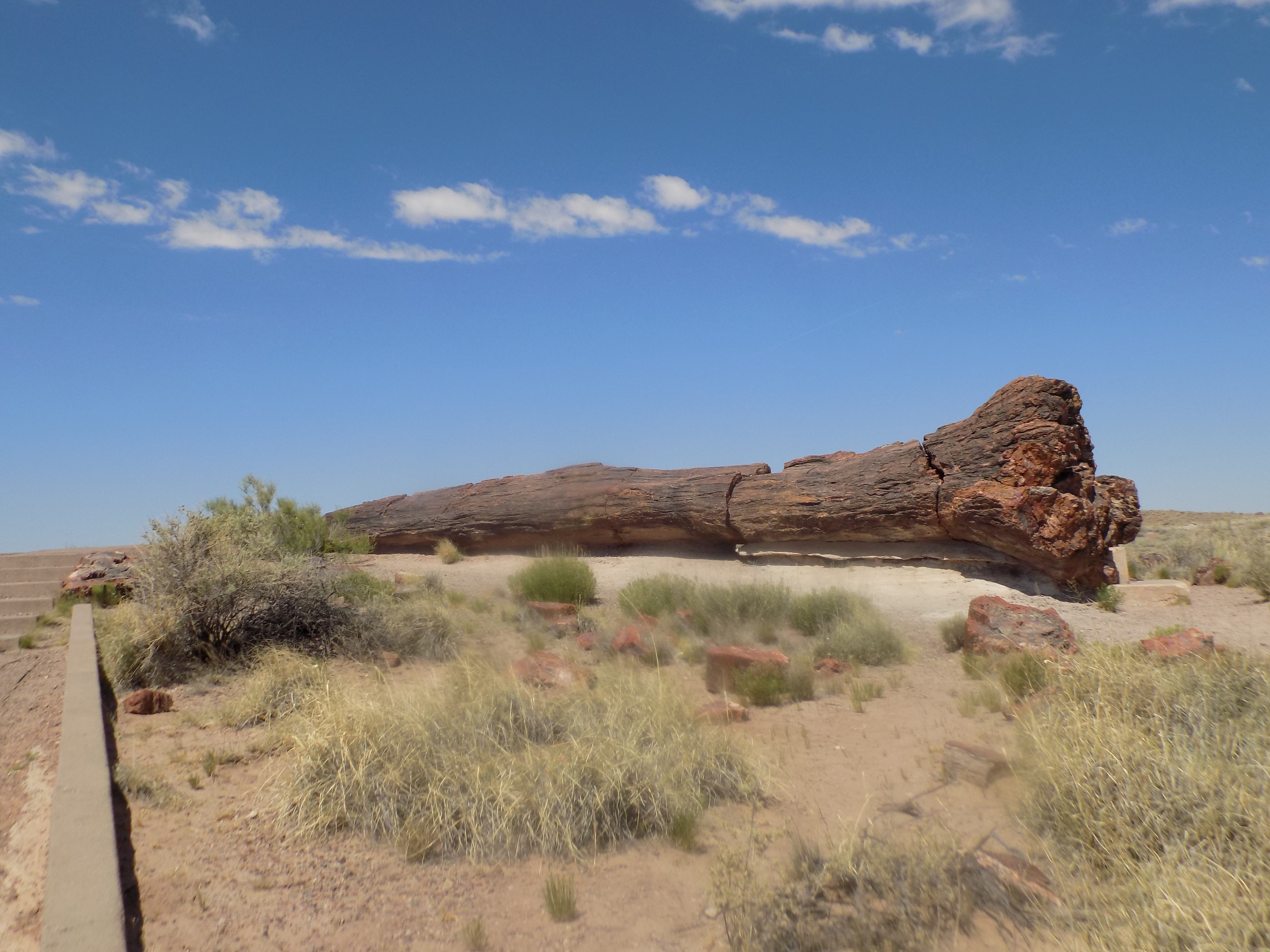
After an extended exchange prompted when the Park Ranger manning the entrance joked that my Senior Pass was only good Tuesday through Sunday, I drove the first of the 28 miles through the park to stop at the Rainbow Forest Museum. Three must walk trails – the Giant Logs Trail, the Long Logs Trail, and the Agate House Trail – are close by. Although they’re not all paved and, thus, provided many opportunities for me to stumble along my way, they’re all relatively flat and there are no chasms so if I fell, the potential for major physical harm or death was, happily, minimal.
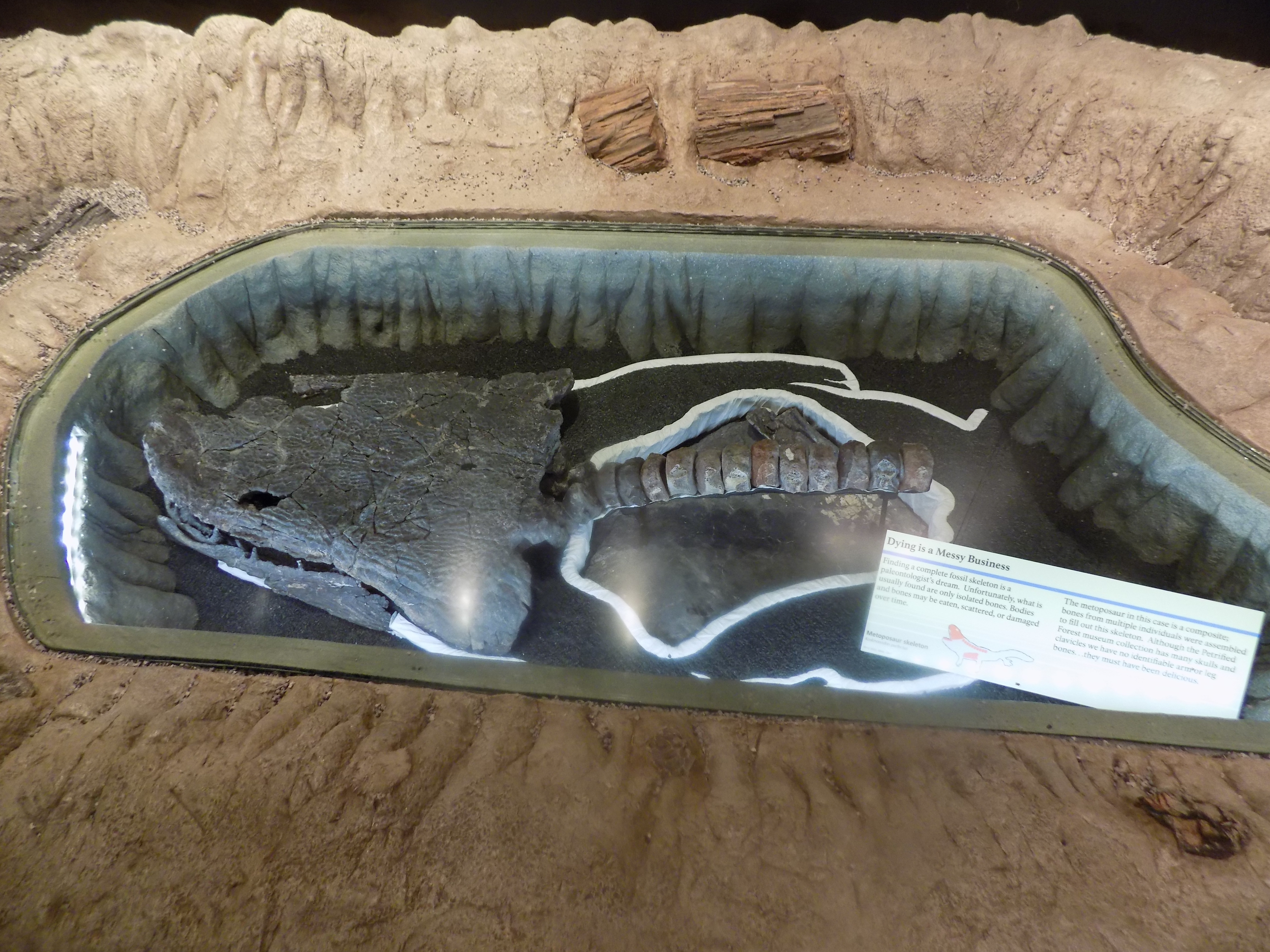
Another lesson in paleogeology.
Visiting Arizona today, it’s hard to envision the time when this arid landscape was a lush, green, tropical landscape filled with abundant vegetation including ferns, horsetails, and 180-foot-tall conifers. It was teeming with animal life from early dinosaurs and reptiles to scores of aquatic species living in the many rivers that flowed through the region. But such was precisely the case in the late Triassic Age more than 220 million years ago when this area occupied a space near the equator on the southeastern corner of the supercontinent Pangaea.
At this time, plate tectonics had moved Laurentia around (you remember our friend Laurentia from the discussion of the formation of the Grand Canyon, I’m sure) and banged it together with enough other supercontinents to form the enormous landmass called Pangaea. In the late Triassic, Pangaea was rifting (a process where the lithosphere or outer layer of the Earth pulls apart) into the minor supercontinents Laurasia and Gondwana. (It would be in the Cretaceous – beginning about 145 million years ago – that Laurentia would again separate into the continent we call North America.)
All the pulling and pushing and bumping and grinding of plate tectonics moved the continents around changing the climate, the river systems, and the plants and animals that flourished in those environments. Streams flowing across the plain deposited layers of sediment comprised not only of rocks and minerals but organic matter as well. We already know that when dead organic matter is buried quickly under layers of sediment before it undergoes the normal processes of decay, fossilization occurs.
During the Late Triassic, downed trees accumulating in river channels in the area that is the park today, were periodically buried by sediment containing volcanic ash. This began the process of petrification. Petrification is a specialized type of fossil formation. This process turns organic material to stone primarily through a mechanism called permineralization. Permineralization occurs when groundwater carries minerals into buried organic matter and these minerals fill spaces within organic tissue. I first introduced you to this process in this post about the Grand Canyon.)
This is what happened in the Petrified Forest. Groundwater dissolved silica from volcanic and tectonic ash and carried it into the logs, where it formed quartz crystals that gradually replaced the organic matter creating petrified wood.
About 60 to 70 million years ago the same process of uplift that plays such a critical part in canyon and mountain formation, also had a part in exposing the trees
and other fossils
of the Petrified Forest. The uplift pushed parts of the plateau to elevations exceeding 10,000 feet above sea level. The warping of the earth’s surface combined with the effects of wind and water gradually eroded layers of rock and exposed these fossils.
And, as we now clearly see, the petrification of the wood at this site had everything to do with natural processes and nothing to do with Gorgons.
A few words about Agate House.
A National Park Service brochure about Petrified Forest notes that the area was likely inhabited by “Paleoindians” perhaps during or just at the end of the last ice age about 11,000 years ago. Don’t worry, I’m not going to turn this section into some sort of archaeological Iditarod but I do want you to have some sense of how long humans have lived here.
I’ve written elsewhere about the people the Park Service call Ancestral Puebloans but there are several villages in the park – the largest of which is called Sivu’ovi and that are believed to be from a culture deemed Basketmakers – that left remnants far more ancient than those we’ve seen elsewhere. Forty-seven pit houses and numerous storage pits found at Sivu’ovi likely date to 500 BCE. Most archaeologists studying these ruins think that Sivu’ovi wasn’t a permanent settlement but rather was occupied seasonally when conditions permitted farming.
As the Basketmaker group transitioned to more permanent settlements, so did their culture. It’s with the rise in the numbers of these more permanent settlements that evidence of the transition to Pueblo culture begins to accumulate as early as the year 650. Over the next three centuries, deemed the Pueblo 1 period, the people began to build more substantial above-ground structures using wooden posts to create a frame that supported woven material and a covering of mud.
The Agate House was probably built at about the same time (circa 1185) as the Tusayan Ruins in Grand Canyon in the era archaeologists call Pueblo III. The Pueblo II era was marked by the construction of dwellings made of stone and mortar and the appearance of Kivas for communal activities.
Pueblo III saw the advent not only of the multi-story cliff dwellings such as those we saw at Montezuma’s Castle and in Walnut Canyon but also in communities with large multi-story buildings that housed several families in a single structure.
Agate House (seen below)
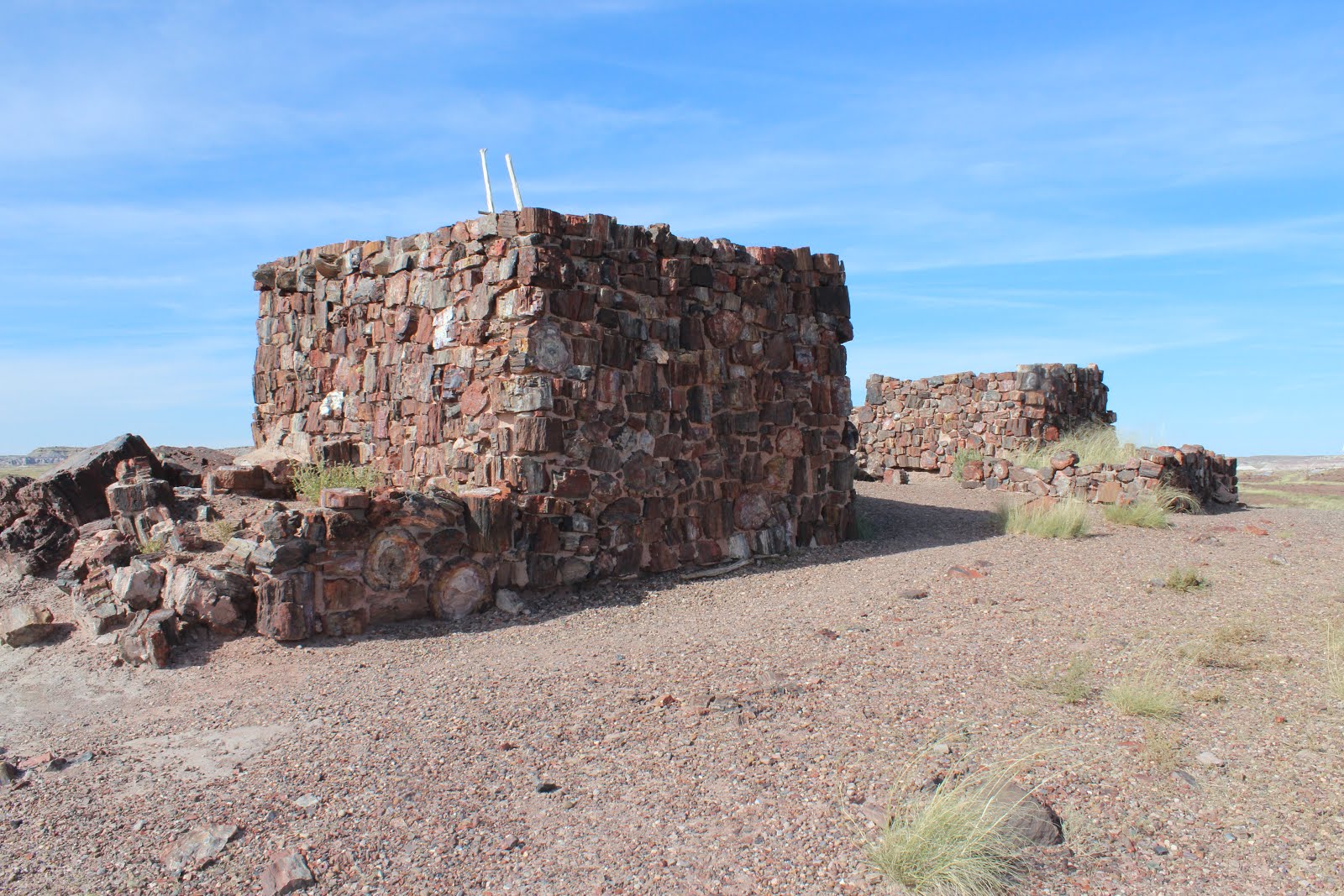
is constructed almost entirely of petrified wood laid in a clay mortar. It differs both aesthetically and in its construction from the sandstone and mortar buildings that typified other settlements. The inhabitants of Agate House used it from 900 to 1200 so it spans the Pueblo II and III eras.
-
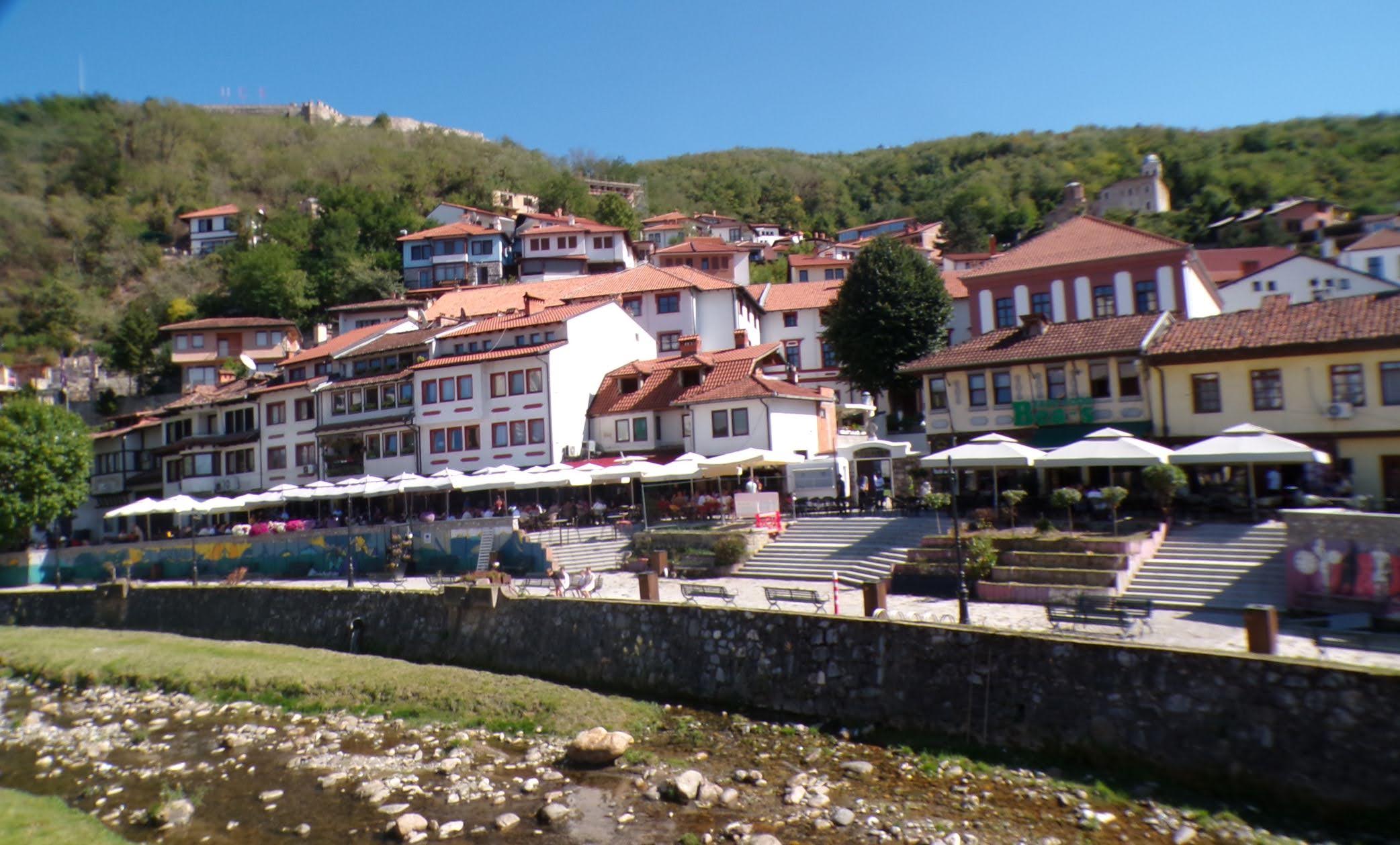
It’s just a shot away – Prizren
March 6, 2026 -

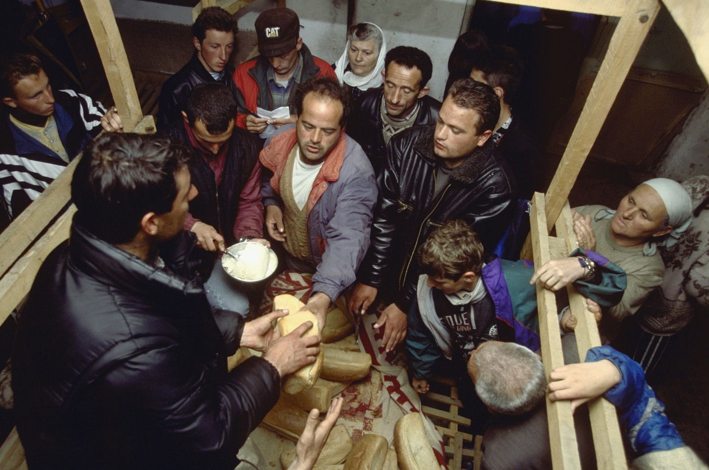
Some things looking better, baby – Getting into Kosovo
March 4, 2026 -
Here, where the sky is falling – Kukës
March 2, 2026 -
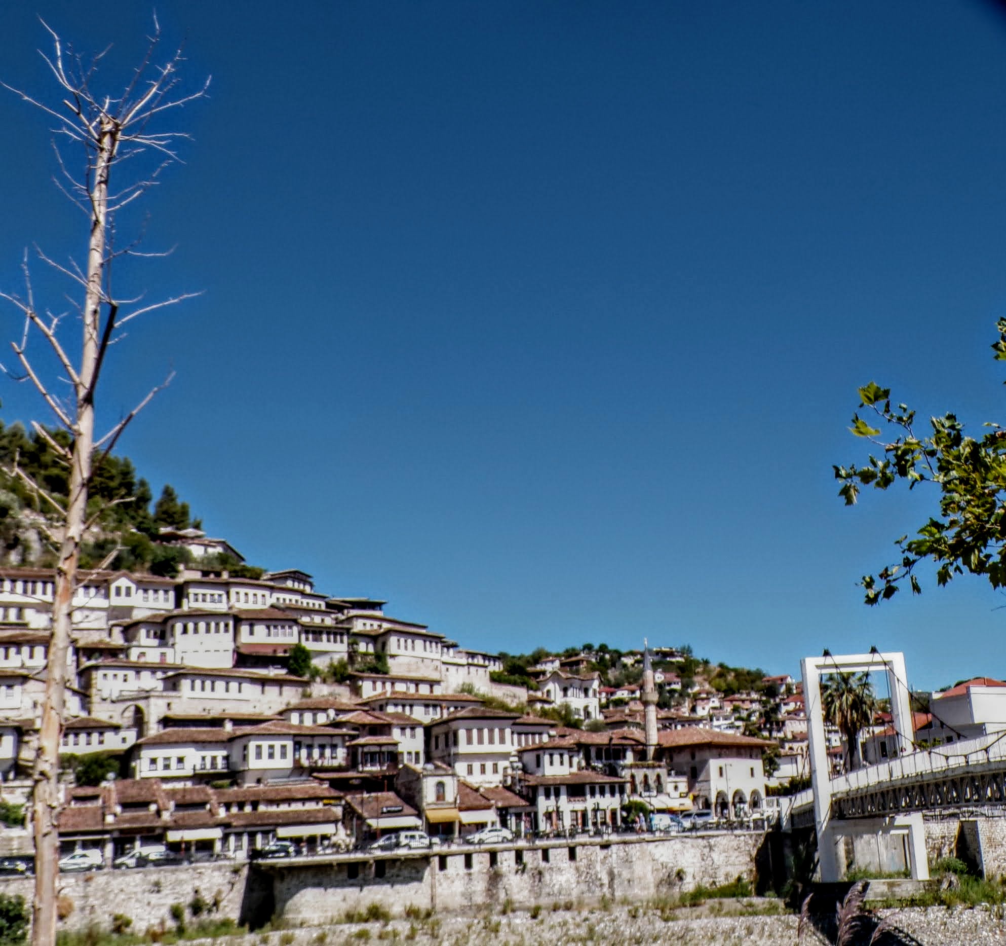
That’s when we fall in line ’cause we got Berat
February 27, 2026 -
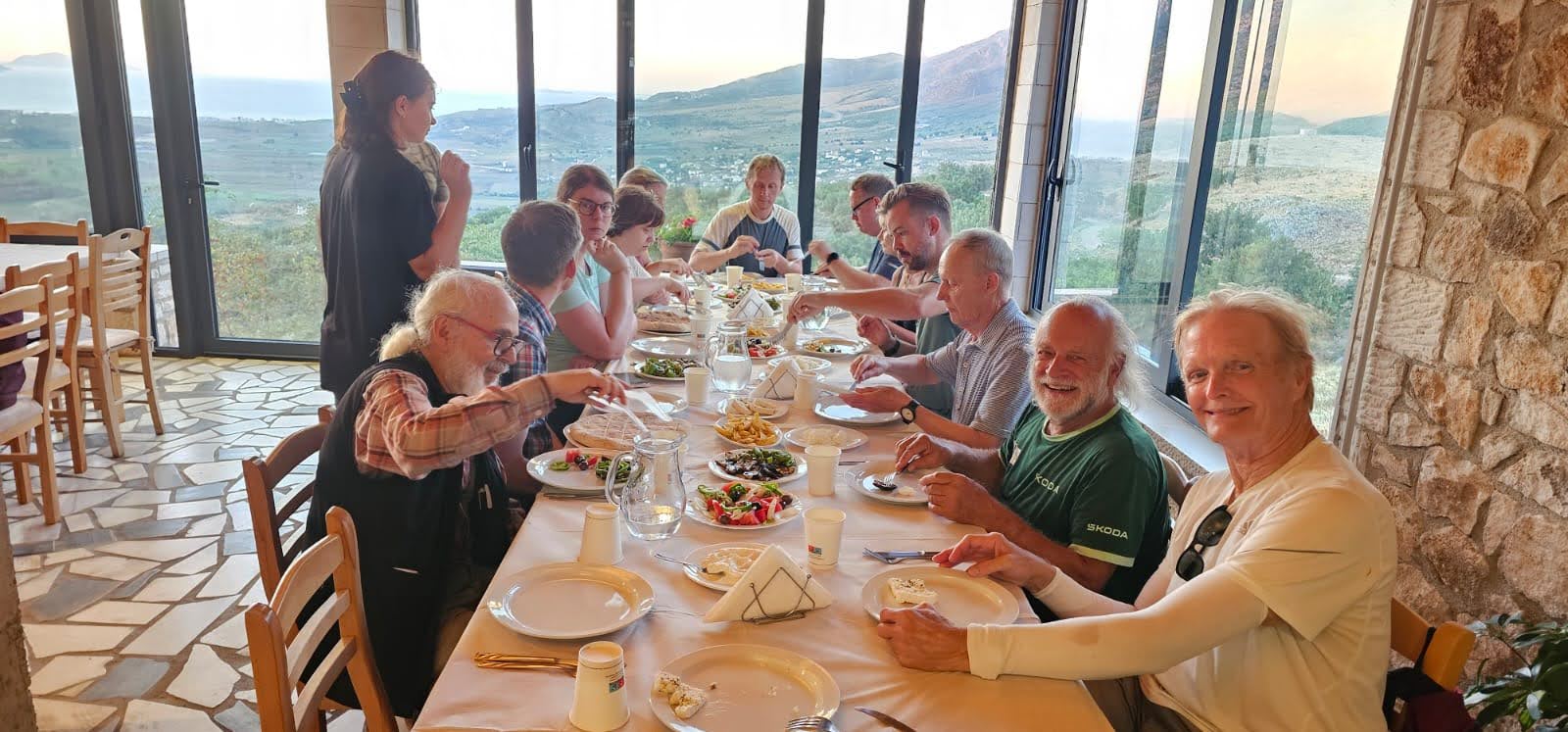
Walking on the big stuff – a climb to Tragjas
February 25, 2026