Finding the ruins.
There are some minor differences in the story of how Bingham actually came upon the site. Some reports say that he was initially directed into the mountains toward Machu Picchu by two farmers and came upon the site accompanied by a local guide and a policeman. (Machu Picchu is Quechua for “old mountain” and is the phrase that Bingham mistakenly interpreted as the place’s name.) Others say it was a child of one of the two farming families I mentioned in the previous post that led him through some dense underbrush to what we now call the “urban area” of the ruins.
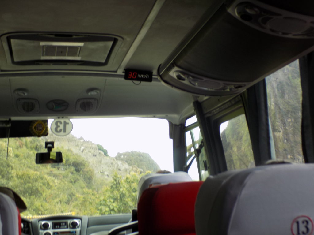
In an April 1913 story written for Harper’s Monthly, Bingham wrote, “suddenly we found ourselves in the midst of a jungle-covered maze of small and large walls.” He added, “Surprise followed surprise until there came the realization that we were in the midst of as wonderful ruins as any ever found in Peru.” He certainly didn’t have a first view in any way resembling the ease and comfort we had on bus 13 riding along the road that bears his name.
Regarding the site’s actual name, reasonable speculation leads some to believe it was called Llaqtapata. There is a place about eight kilometers from Machu Picchu called Llaqtapata and according to the historian Mari Carmen Martin, it has retained its name because it has never been abandoned (although it’s also identified on some maps as Patallacta). The name means “town above” and there’s some evidence that Pachakutiq might have had a nearby mansion also called Llaqtapaqta. This could be true. Or not.
Getting there.
As I’ve noted, we reached Machu Picchu by taking a train along the Wilqamayu to Aguas Calientes and the bus ascending the snakelike Carretera Hiram Bingham to the citadel. Bingham had the assistance of a farmer who had been in the area for some time. The Inkas would have walked along what we call today the Inka Trail. (Remember, this is one of thousands of kilometers of roads the Inkas built.)
The Inkas would have walked the entire distance from Cusco along one of two common routes. The longer, more demanding (and possibly more spiritual) path took them west toward Izcuchaca then northwest past the 6,271-meter Salkantay peak before descending to Machu Picchu. Alternatively, they could have started north toward Pisaq before turning west toward Urubamba and Ollantaytambo and on to Machu Picchu – a distance of about 127 kilometers.
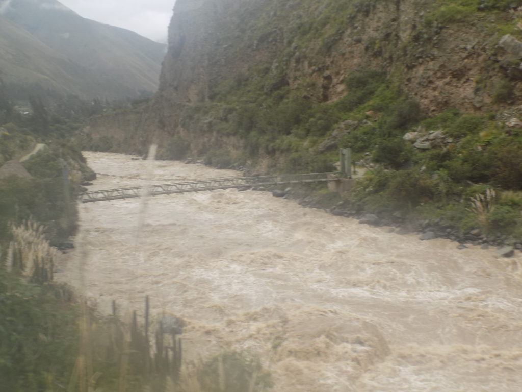
Today, most trekkers start just north of Ollantaytambo at this bridge
at kilometer 82. From there, the four day hike covers about 45-kilometers initially following the Cusichaqa River then ascending to its acme 4,200 meters above sea level at the pass at Warmiwanusca before making the 1,800 meter descent to Machu Picchu using the famed Inka Steps. It makes its last overnight stop near Wiñay Wayna (which might have been one of the farming complexes that provided food for Machu Picchu) and passes through the Inti Punku or Sun Gate before finally arriving at Machu Picchu.
Was Machu Picchu a lost city?
Despite my disclaimers in the previous post, I think it’s fair to consider Machu Picchu generally lost even if a handful of people in the area and other western explorers had encountered and knew of it before Bingham. The Spanish wrote detailed contemporary accounts of Cusco and many other Inkan strongholds, during their occupation and conquest of Perú but nowhere in those chronicles is Machu Picchu even mentioned. This can, I think, be taken as a reasonable indication that the Spaniards knew nothing about it.
Further, no mention of the site appears in the book Comentarios Reales de los Incas published in 1609 by Inca Garcilaso de la Vega. Born Gómez Suárez de Figueroa, he was the child of a Spanish conquistador and an Inkan noblewoman and he is considered by some to be the first mestizo born in South America. His book purports to be an account of Inkan traditions and customs told to him by his mother and other indigenous members of his family.
There was a time when people believed Machu Picchu served (surprise!) some sort of military function. However, according to the National Geographic article, Luis Lumbreras, the former director of Peru’s National Institute of Culture, describes it as “a citadel made up of palaces and temples, dwellings and storehouses” – a site that fulfilled ceremonial religious functions. There can be no doubt that, as with much Inkan construction, the site is deliberately planned. Lumbreras believes that the various sectors demonstrate a design isolating the functional from the ceremonial.
The article goes on to state
Research conducted by John Rowe, Richard Burger, and Lucy Salazar-Burger indicates that rather than being a defensive stronghold, Machu Picchu was a retreat built by and for the Inca ruler Pachacuti. Burger has suggested it was built for elites wanting to escape the noise and congestion of the city.
While I won’t solve the mystery of Machu Picchu, I will take a more in depth look at its many sectors and their most likely uses and functions in my next post.

